
This was probably taken from the future site of the Aerobee Rocket Range. That stand of forest in the distance is unusual. There is only one area up there that has a remnant stand of boreal forest. Everywhere else either has no trees at all, or krumholtz formations, that type of tree growth associated with the Northern Tree Line.
That pale raised thing in the middle MIGHT be an esker, left over from some ice-age glacier. Then again, maybe it's just a pile of debris from road-building.
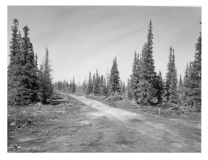
This road, I am pretty certain, is the same one that leads from the Aerobee Rocket Range (now the Churchill Northern Studies Centre) to Twin Lakes.
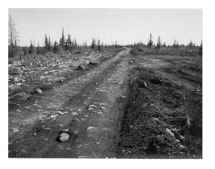
This nicely-graded road could be the one that leads into the Churchill Northern Studies Centre. Of course it could also have led into the old, closed military base.
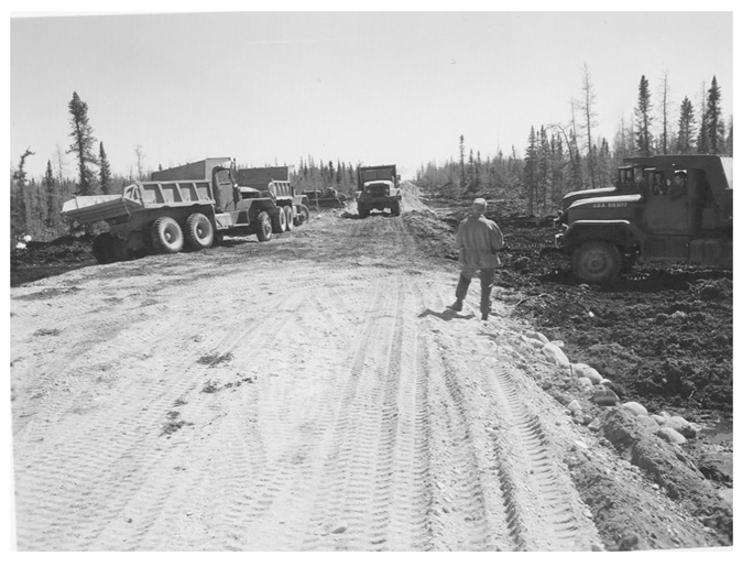
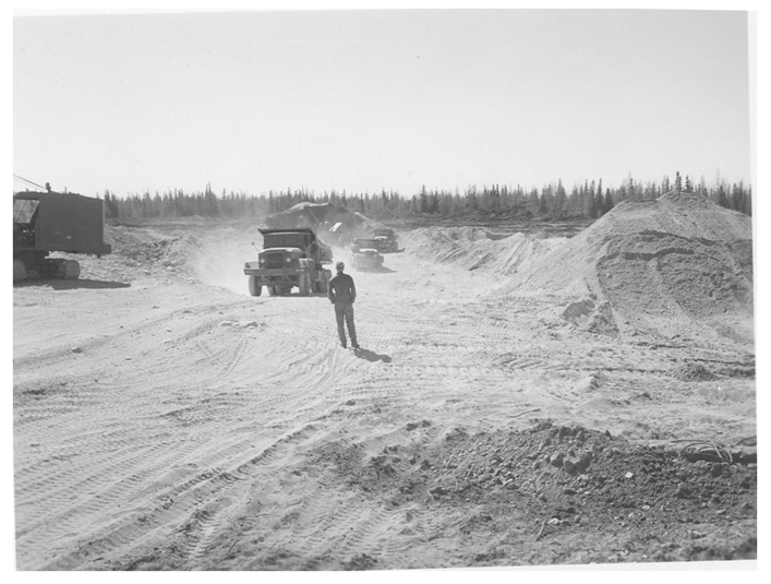
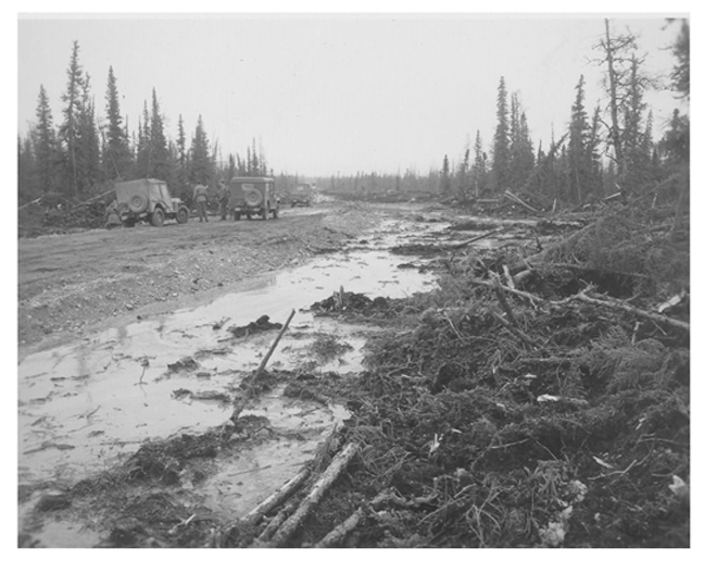
It can't have been pleasant. It gets to be about 75F in the summer on a warmday, and there would have been MOSQUITOES and even worse, BITING FLIES! Maybe it wasn't quite summer when these two pix were taken.
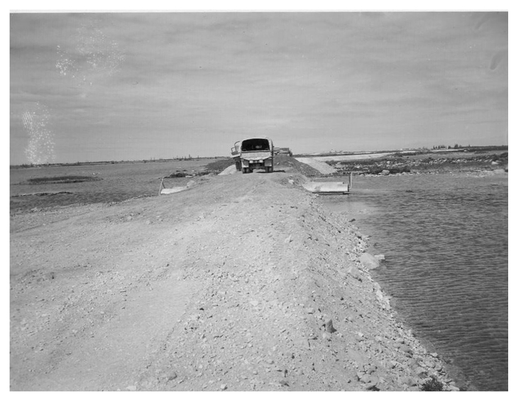
There are a few bleak stretches like this. This COULD be the road that now leads to Cape Merry. Then again, maybe it isn't.